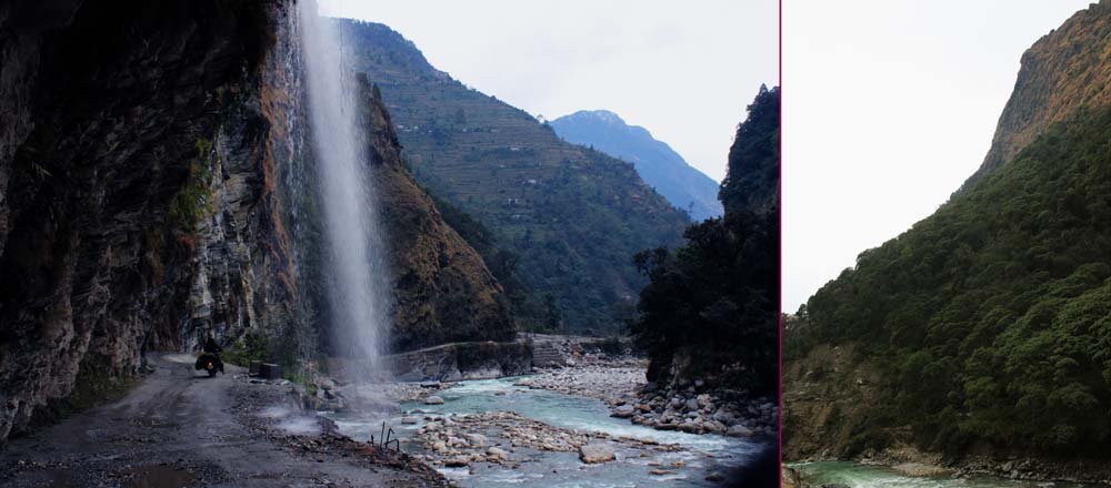
A river's journey
A river's journey


A river's journey

Gori Ganga (also Gori Gad) is a river in the Munsiari tehsil of the Pithoragarh District, part of the state of Uttarakhand in northern India.

Gori Ganga's principal source is the Milam Glacier, just northeast of Nanda Devi along with the Glaciers of the Ralam River, and the Pyunshani and Uttari & Dakshini Balati Glaciers that lie on the western face of the Panchachuli Peaks.

The alpine trans-humant village of Milam is located one kilometer below the snout of the glacier. Here a left-bank stream called Gonka joins the Gori. The valley provides the approach route for access to peaks such as Nanda Devi East, Hardeol, Trishuli, Panchchuli and Nanda Kot.

The Gori is also fed by glaciers and streams flowing from the eastern slopes of the east wall of the Nanda Devi Sanctuary.

The Kalabaland-Burfu Kalganga glacier system also flows into the Gori Ganga Valley from the east.

Many waterfalls are also found in the Gori river on the way from Munsiyari to Jauljibi.

During the rainy days, the Gori river becomes flooded and has also caused many losses.

Gori Ganga joins the Kali River at Jauljibi.

In the local language

The Gori river valley is very beautiful.


The principal rivers joining the main trunk Gori river are Panchu Gad, Burfu Gad, Lwa Gad, Poting Gad, Ralam Gad, Jimia Gad, Suring Gad, Madkani or Madkanya and Ghosi Gad.

